
Walk a Daytona Beach Street
A useful street search moves from the exact delivery point to the parcel and then to records indexed under names or legal descriptions. Start with a complete number, street, and unit. The Volusia County Property Appraiser supplies the bridge from a modern address to a parcel ID, assessed owner, legal description, and sale references. Keep the physical, or situs, address separate from the owner mailing address.
- Validate the complete address and unit with USPS when its spelling or ZIP is uncertain.
- Search the Property Appraiser by location address and save the parcel ID, situs, owner, legal description, exemptions, and map link.
- Open Map Search, zoom to block scale, and inspect parcels one at a time rather than assuming consecutive numbers touch.
- Use the latest sale instrument or owner in the Clerk's Official Records inquiry, then follow prior deeds.
- Add city permits, a lawfully requested voter file, and reverse directories only for the questions each can answer.
This Daytona Beach street directory sequence prevents a common mistake: calling every owner a resident. A homestead exemption supports owner occupancy under assessment rules, but it is not a list of everyone in a home. A permit applicant or contractor may have no residence tie to the address.
Daytona Beach Address Search Fields
The Volusia County Property Appraiser search is the main address-to-owner tool. County guidance names owner, location address, and parcel number as search modes, and says data update weekly. Location means situs, not the place where tax mail goes. Try fewer address parts if punctuation or a directional produces no match, then verify municipality and legal-description fields.
| Search control | Input | Required | Use |
|---|---|---|---|
| Owner Name | Text | No | Surname, trust, or entity; try variants |
| Location Address | Text | No | Street number and name at the parcel |
| Parcel Number / Alternate Key | Text | No | Exact property identifier |
| Map Search | Map mode | No | Moves from one result to spatial browsing |
A parcel card can show owner and mailing address, situs, subdivision, lot and block, values, exemptions, sales, improvements, and map links. These are tax-roll facts. Request a certified assessment record if formal ownership proof is needed.
Browse Daytona Beach Parcels
The Volusia parcel map lets a searcher move along a block. Find one valid address, zoom until boundaries are clear, select each lot, and follow its detail link. A corner or rear parcel may share a boundary even when its street number looks unrelated. Layers can add aerial, road, subdivision, jurisdiction, zoning, flood, and service context, though available layers change.
The captured viewer below shows the map surface used for this part of a search by street.
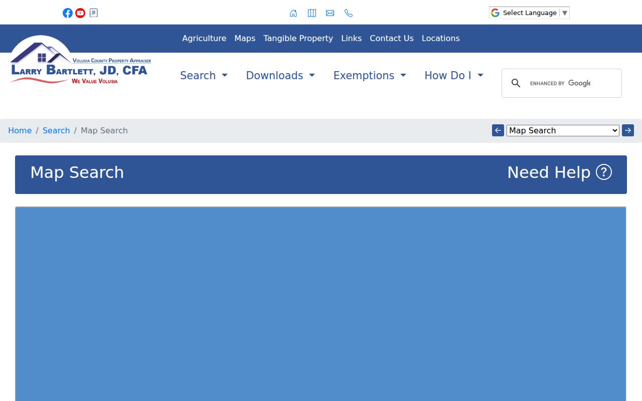
Use the viewer to locate parcels, not to settle a boundary dispute. GIS lines are representations and are not a survey. Open each parcel card before drawing a conclusion.
Note: Parcel adjacency is more reliable than street-number order when deciding which Daytona Beach properties truly share a boundary.
Daytona Beach Street Record Sources
Address-keyed sources cover different layers of the same place. The roll and map describe assessed land. The recorder documents title and claims. City systems date permitted work and public code proceedings. Historical directories may name an occupant, but only in surviving years and sections.
| Address source | Custodian | Street evidence | Access route |
|---|---|---|---|
| Assessment parcel | Property Appraiser | Owner, mailing and situs, legal description, exemptions | Free web; certified record by request |
| Parcel GIS | County / city GIS | Adjacency, parcels, aerial and jurisdiction context | Free viewers |
| Deeds and plats | Volusia Clerk | Grantor, grantee, land description, title references | Web from April 4, 1988; DeLand terminals from 1887 |
| Permits | Daytona Beach | Project, applicant, contractor, dates, status, inspections | Public iMS; records-request fallback |
| Voter data | Elections office | Released residence fields in an ordered file | Formal request; protected fields withheld |
| Reverse directories | Libraries / archives | Occupant or business by number in selected editions | Databases, catalogs, microfilm |
There is no verified public control that exports all residents on one Daytona Beach street. Build a documented set parcel by parcel and state what each row represents.
Follow Daytona Beach Deed Chains
A deed index often works by party instead of modern address. Start with the parcel card's latest qualified sale. Take its instrument number or book and page to the Volusia Official Records Inquiry. Read the image for grantor, grantee, legal description, and earlier references. To move back, search the seller as a grantee in older records. Repeat while checking name variants, trusts, and married names.
| Official Records field | Purpose |
|---|---|
| Party Name / Type | Finds grantors, grantees, and other parties |
| Document Type | Separates deeds from mortgages, liens, easements, and plats |
| Recording Date | Controls common-name results; web coverage starts April 4, 1988 |
| Instrument or Book/Page | Opens a known citation |
| Legal criteria | Connects lot, block, and subdivision to land |
The recorded image may add signatures, notarization, return-to address, and prior references. It remains different from a certified copy.
The live Clerk inquiry is shown in the capture.
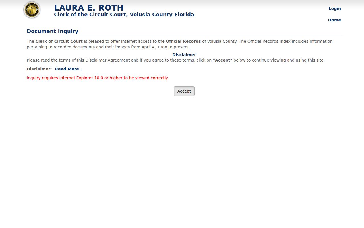
The inquiry is strongest after the parcel search supplies a party, instrument, or legal description. It is not a plain address directory.
Daytona Beach Records Before 1988
The remote line is exact: released Official Records index entries and images begin April 4, 1988. Older title evidence did not vanish. Public research media in Room A121 of the Volusia County Courthouse in DeLand reach 1887. Call the Recording Department at 386-736-5912. Make an appointment when original books in the Historical Records room may be needed. Staff can explain equipment, but Florida law does not authorize them to perform a title or lien search.
Take the last online book/page, party, and legal description to the terminal. That shortens an older search and reduces errors from a changed street name. Mortgages and satisfactions can bracket a period, but conveyances remain the core proof of title.
Note: Daytona Beach is not the county seat, so the deepest recorder research runs through the DeLand courthouse rather than City Hall.
Daytona Beach Permits by Address
The Daytona Beach iMS portal searches permits, plans, inspections, licenses, and related records with controls such as record number, project or address, applicant or contractor, type, and status. Results may tie an address to a description, issue or final date, participants, and inspections. They can date an addition, roof, demolition, or other change. They do not name every resident.
The captured portal shows the public search used to add a construction timeline to Daytona Beach street records.
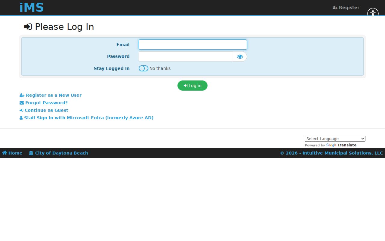
An account is needed for applications and some transactions, but public searching is available. If a record is absent, contact the counter or submit a focused city request by address, record type, department, and date range. Active code investigations may contain limited information.
Decode Daytona Beach Land Terms
A modern street label is convenient, but land records remain linked through parcel and plat language. Define each term before moving a result between systems.
- Parcel
- A tax and mapping unit; it may not match one household or mailing address.
- Situs address
- The physical or tax location, distinct from the owner's correspondence destination.
- Plat
- A recorded subdivision map linking streets with lots, blocks, easements, and book/page references.
- Criss-cross directory
- A reverse section ordered by street and house number instead of surname.
The legal description is the lasting bridge. It may state subdivision, lot, block, and plat book/page, or use metes and bounds. Match it on the parcel card and deed before calling two records the same land.
Daytona Beach Voters by Street
The county self-service voter lookup is not a public block browser. A street-sortable residence field may be present in voter data lawfully obtained through the Volusia Elections public-records process. Use its current order form, price list, or request route. State the geography and fields wanted; the office controls the released format.
Florida law protects Social Security, driver-license or state-ID numbers, registration source, preregistrant data, and signature copies. Address exemptions and the Attorney General Address Confidentiality Program can hide a residence. Voting history shows participation, never ballot choices. A registration address is evidence for its record date, not proof of today's whole household.
Three Names for Old Daytona
Daytona, Daytona Beach, and Seabreeze consolidated in 1925. A Seabreeze entry in 1924 and a Daytona Beach entry in 1926 may describe one building and household. Search all three place names in catalogs, directories, newspapers, plats, and maps. This local shift matters more than guessing at a missing modern address.
Bridge old labels with consecutive directory street guides, plats, and Sanborn fire-insurance maps. The 1916 Library of Congress set has nine sheets and explicitly includes Seabreeze. No official full old-to-new renumbering schedule was found, so confirm one address across several artifacts. The Daytona Beach city directory collections give the surviving years and entry conventions.
Daytona Beach Postal Boundaries
A Daytona Beach mailing line can sit outside the legal city among Holly Hill, South Daytona, Daytona Beach Shores, and Ormond Beach. Western annexation adds another mismatch between postal label and jurisdiction. Check the parcel municipality or taxing district before directing a permit or city-record request.
Core delivery ZIPs include 32114, 32117, 32118, 32119, and 32124. ZIPs 32115, 32120, and 32125 may serve PO-box or special uses. ZIP codes route mail and do not define city limits. Validate the complete delivery point through USPS.
Limits of Daytona Beach Street Records
A street directory built from public sources cannot name every renter, child, guest, or household member. The roll shows assessed ownership. Deeds show title parties. Permits show work and participants. Voter records are controlled releases with exemptions. Driver, utility customer, and delivery information are not open household rolls.
Lawful use. Use Daytona Beach address records only for lawful personal research, and never to stalk, harass, intimidate, or expose a protected person.
Label dates and source types. Seasonal use, condo ownership, LLC title, and an out-of-state mailing address are common reasons owner, mail recipient, and occupant differ. When the goal changes to one named person, use the Daytona Beach resident lookup and verify two independent facts.