
Daytona Beach ZIP Coverage
Five core delivery ZIP codes serve Daytona Beach, while three additional codes appear in special-use or post-office-box contexts. The areas below are practical descriptions, not legal polygons. USPS assigns delivery codes to addresses. The Census Bureau builds ZIP Code Tabulation Areas for statistics. Neither source decides whether a parcel falls inside Daytona Beach government boundaries.
| ZIP Code | Areas Covered | Post Office | Notes |
|---|---|---|---|
| 32114 | Central mainland, downtown, Midtown, airport and Embry-Riddle vicinity | Central Daytona delivery routes | Not equal to downtown or the city line |
| 32117 | North mainland and addresses toward Holly Hill and the LPGA area | North Daytona routes | Postal city and municipality can differ |
| 32118 | Beachside, barrier island, oceanfront and Halifax peninsula corridor | Beachside routes | Long coastal shape near other beach cities |
| 32119 | South mainland and South Daytona-area postal geography | South Daytona routes | A Daytona Beach mailing line may be outside the city |
| 32124 | Western LPGA corridor and growth west of I-95 | West-side routes | Large growth and annexation context |
| 32115, 32120, 32125 | Post-office-box or special-use contexts | Verify with USPS | Do not treat as residential neighborhood polygons |
The Halifax River gives the postal pattern a clear local shape. Beachside largely tracks 32118, while the mainland is split among central, north, south, and west-side routes. Continuous development with Holly Hill, South Daytona, Daytona Beach Shores, and Ormond Beach makes mailing names unreliable evidence of municipal jurisdiction. The western city also reaches into newer growth areas that do not resemble the older beach and downtown core.
Verify Daytona Beach Delivery ZIPs
Use the USPS ZIP Code Lookup when a complete address is known. Enter the street number, street name, apartment or unit, city, and state. The result is the authority for the delivery ZIP at that point. A citywide list or a shaded web map cannot resolve every building, new route, multi-unit complex, or postal naming choice.
- Standardize the full street address and include the unit when one exists.
- Check the address with USPS and save the returned ZIP and ZIP+4.
- Open the Volusia parcel card for the same situs address and note its municipality or taxing district.
- Use that verified geography in the correct office, map, or records request.
The captured USPS address form shows the point-address method used by the Daytona Beach ZIP code directory.
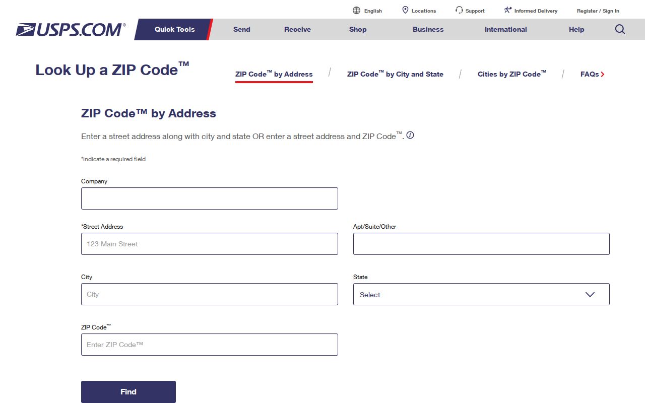
This address-level check is more precise than assuming every street segment shares the same postal code.
Daytona Beach ZIP Geography
The 32118 corridor follows the barrier island and beachside for much of Daytona Beach. Its long north-south form can touch postal naming quirks near adjacent beach municipalities. Across the Halifax River, 32114 covers the diverse central mainland, including downtown, Midtown, the airport, and the Embry-Riddle vicinity. These labels help orient a search, but neither ZIP is a neighborhood roster.
North mainland 32117 and south-side 32119 meet the continuous urban fabric of nearby cities. Western 32124 covers the LPGA corridor and newer development west of I-95. Early Sanborn maps and city directories are often more useful in downtown or Seabreeze-era areas, while western parcels are better traced through digital plats, permits, GIS, and annexation records. The right source changes with both place and era.
Special Daytona Beach ZIP Codes
Codes 32115, 32120, and 32125 appear in Daytona Beach post-office-box or special-use contexts. They should not be drawn as ordinary residential districts. A box ZIP identifies mail handling, not the physical site where a person lives or a parcel lies. Verify the specific box or institutional assignment through USPS before placing it in a directory search.
This distinction prevents a common error: comparing a special code to a Census population polygon and concluding that it has a normal resident base. For a person or business using a box, seek a public physical address only through the proper official record and do not recast a mailing contact as a home.
Find Daytona Beach Residents by ZIP
Official portals do not offer one complete ZIP-wide resident roll. Sunbiz explicitly supports ZIP and street modes for corporations, but those results describe businesses, agents, and officers. The Property Appraiser advertises owner, address, and parcel searching, not a guaranteed ZIP export. The voter self-lookup checks one voter with identity fields. A formal voter-file order may offer geographic selections depending on the current product.
- Verify the target address and delivery ZIP through USPS before building a geographic list.
- Use the Property Appraiser map or address results to inspect parcels in the area. Do not claim it returns every resident.
- For voter data, review the Supervisor's current order form and request only a lawful geographic product that the office actually offers.
- Use Sunbiz by ZIP only when the goal is a business or registered public role, then verify the source document.
Once the ZIP has narrowed the area, the Daytona Beach street directory explains the street and parcel level. That handoff matters because ZIP geography is far too broad to prove who occupies one address.
Search Daytona Beach Businesses by ZIP
The Sunbiz Search Records portal can search corporations by ZIP Code and Street Address. It can also search by entity, officer or agent, document number, fictitious name, and other filing modes. A detail may show filing status, principal and mailing addresses, registered agent, managers, annual reports, and document images. This is useful when a parcel owner is an LLC or a known resident has a public company role.
| Sunbiz mode | What it can return | Limit |
|---|---|---|
| ZIP Code | Entities tied to the entered filing ZIP | Business list, not resident roll |
| Street Address | Filing addresses on a street | May be office, agent, or mailing address |
| Officer or agent | Public role and linked entity | Role does not prove home address |
| Document number | Exact entity and filing history | Requires known identifier |
The manifest image of the Sunbiz search hub shows the ZIP-capable official business route.
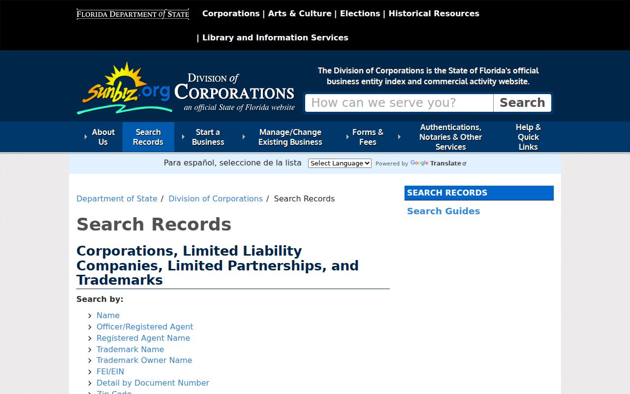
Read the entity detail and filed PDF before tying a same-name business result to a person.
Daytona Beach ZCTAs Are Estimates
The Census Bureau uses ZIP Code Tabulation Areas, or ZCTAs, to publish statistics for areas that approximate ZIP geography. USPS ZIP codes are delivery constructs and can change with routes. ZCTAs are generalized polygons built for tabulation. A ZCTA map is useful for broad population context, but it cannot establish the delivery code for a specific Daytona Beach unit or the municipal government serving it.
The official Census ZCTA explanation is captured below.
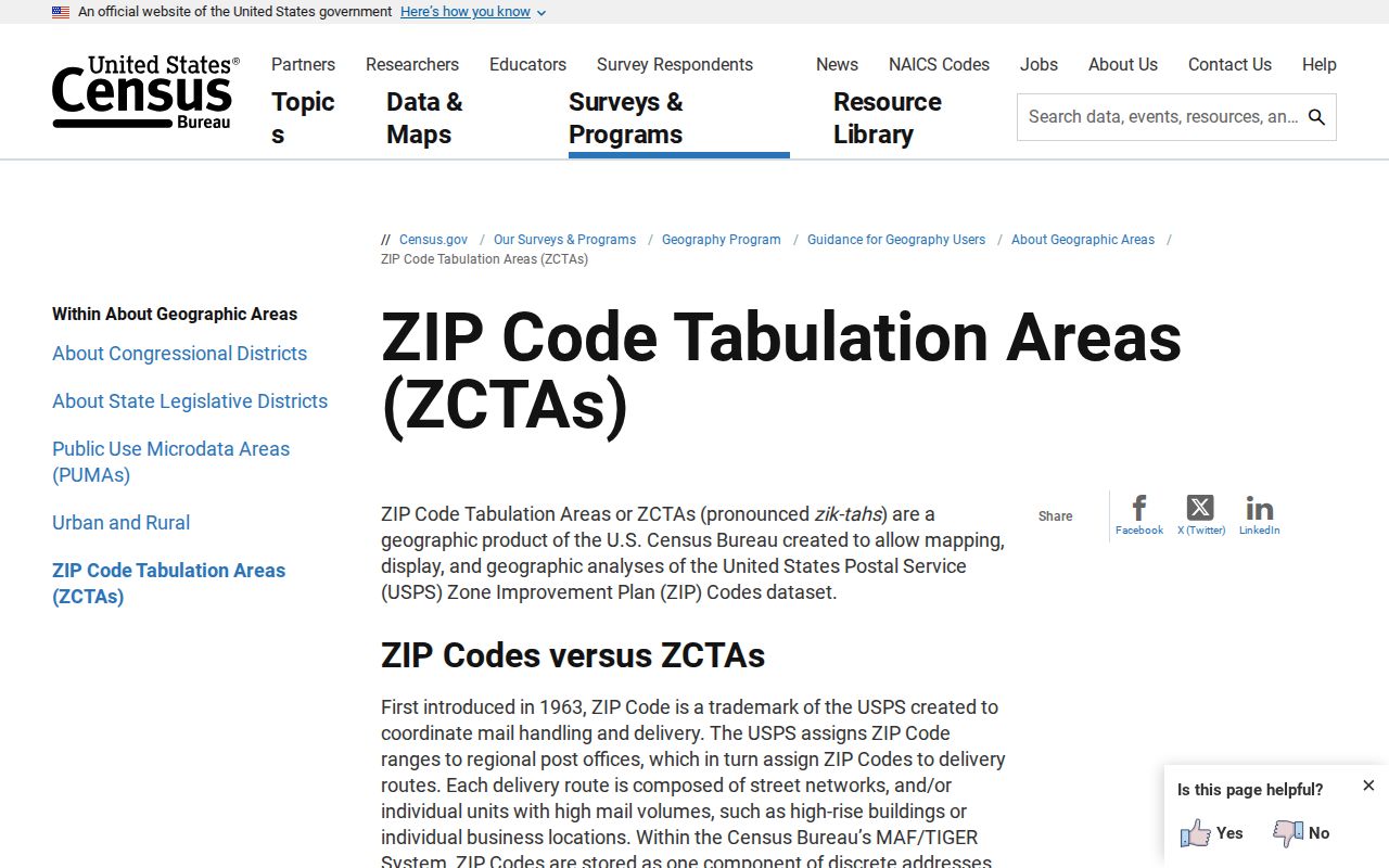
The distinction is why every exact address should go back to USPS and the Volusia parcel jurisdiction field.
Daytona Beach Regional Name Trap
Postal geography is not the first local source to use Daytona Beach as a broad regional label. NARA lists 1930, 1932, and 1935 directory editions whose Daytona Beach titles also cover surrounding communities such as Holly Hill, Ormond, Ormond Beach, Port Orange, and Rio Vista. A person printed in one of those volumes was not necessarily within the legal city. Record the locality printed beside the entry before connecting it to a modern code.
The same caution applies to the 1925 consolidation of Daytona, Daytona Beach, and Seabreeze. A household could appear under a different place heading without moving. For an older address, compare consecutive directories, plats, and the 1895 through 1924 Sanborn editions. Then connect the old legal description or street label to a present parcel. Research found no authoritative dated citywide ZIP split or street-renumbering schedule, so an individual address must be bridged with records rather than a guessed conversion.
This regional naming quirk is especially important around the continuous mainland and beachside communities. A historic directory heading, a current preferred mailing city, and the parcel's municipality can all describe different layers of the same address. Keep all three labels in research notes.
For family research, preserve the wording exactly as the old source prints it. Search all three pre-consolidation place names, then use a map or plat to decide where the address stood. That method is more reliable than forcing a current postal label onto an older household.
Daytona Beach ZIP and City Limits
A Daytona Beach postal line can sit outside legal Daytona Beach. Urban development continues through Holly Hill, South Daytona, Daytona Beach Shores, and Ormond Beach, while western annexation extends the city into growth corridors. Use the parcel municipality or taxing district to select the city agency. The preferred mailing name and ZIP alone cannot settle jurisdiction.
This mismatch affects permits, code cases, city requests, and local tax questions. A parcel with a Daytona Beach mailing address may belong to another municipality, while a city parcel may sit in a postal area associated with a nearby place. The Daytona Beach ZIP code directory therefore treats postal and government geography as separate facts.
- ZIP and ZIP+4
- A five-digit delivery area versus the added four digits that narrow a segment, firm, or box group.
- PO-box ZIP
- A code used to route post-office boxes, not a normal neighborhood boundary.
- Unique ZIP
- A code assigned for a single high-volume organization or special mail use.
- Carrier route
- The smaller path used to organize delivery points within a ZIP.
Boundary check. Confirm the USPS delivery code and the Volusia parcel municipality separately before choosing a Daytona Beach records office.